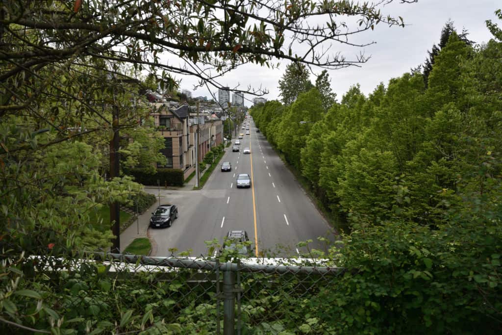
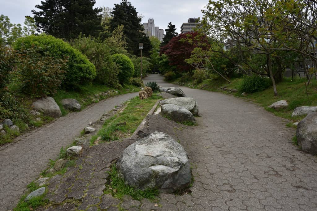
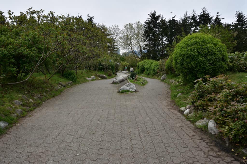
The Laurel St. Landbridge has always been a part of my childhood. Whether it was a walk or small bike ride with my father on a Saturday, or running errands with my mother on a weekday. I always found it as a break from the hustle and bustle of the streets down below. I never knew that it was recognized as a historical spot in Vancouver. I also find it cool that it’s in my community, and that people should learn more about this neat spot’s history.
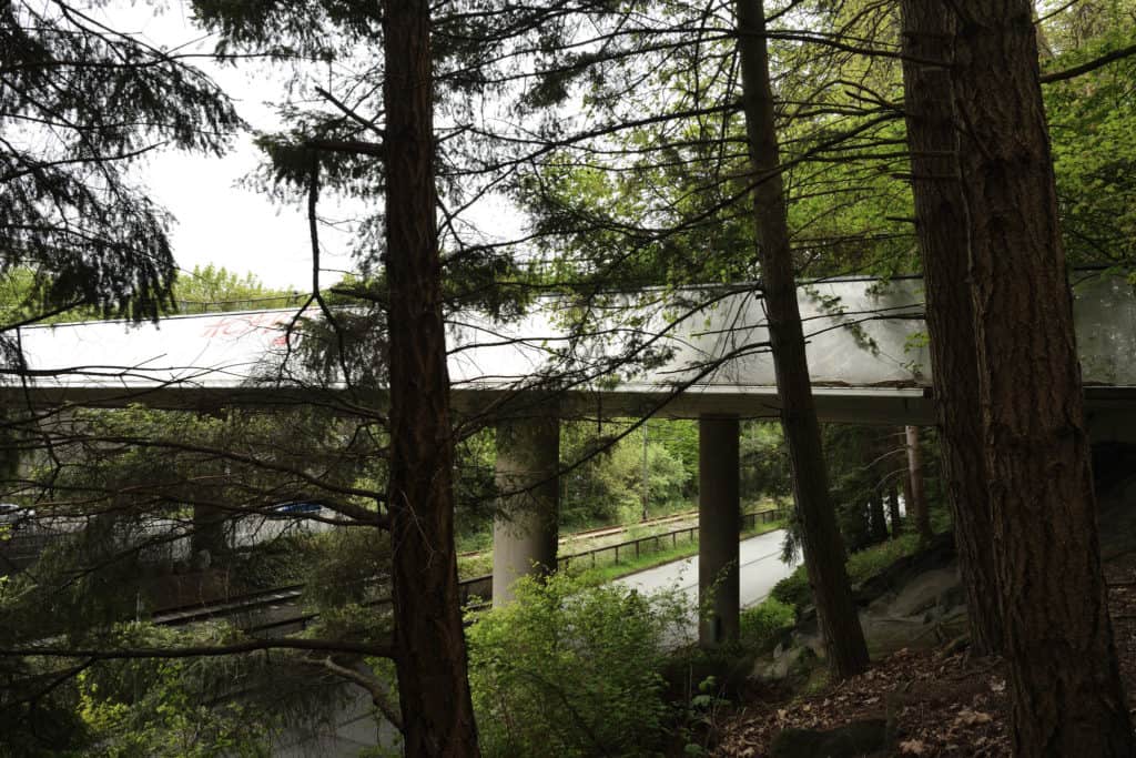
The Laurel Street land bridge connects Fairview Slopes with Charleson Park, the False Creek seawall and False Creek Elementary School across busy 6th Avenue and the old “south shore line” of the B.C. Electric Railway. It links the amenities of False Creek with Fairview Slopes, which has little open space.
The bridge was part of Phase I of the development of the south shore of False Creek in the mid-1970s, an innovative, imaginative project that set the tone for the modern, 21st-century city. Coordinating architects Thompson, Berwick, Pratt and Partners prepared a preliminary scheme of residential enclaves including a wide variety of housing types for a diverse population. Various architects designed blocks of condominium townhouses, co-operatives and apartments for the sites.
We are currently working on research for this site. If you have first hand stories to share or history, please submit a story!
