Share a story! Nominate a site.
Do you have a story to share? Do you have a site to nominate? Please fill out this form and we will get back to you.
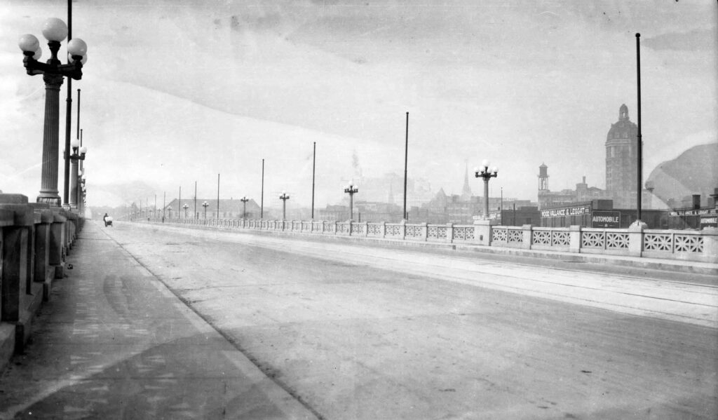
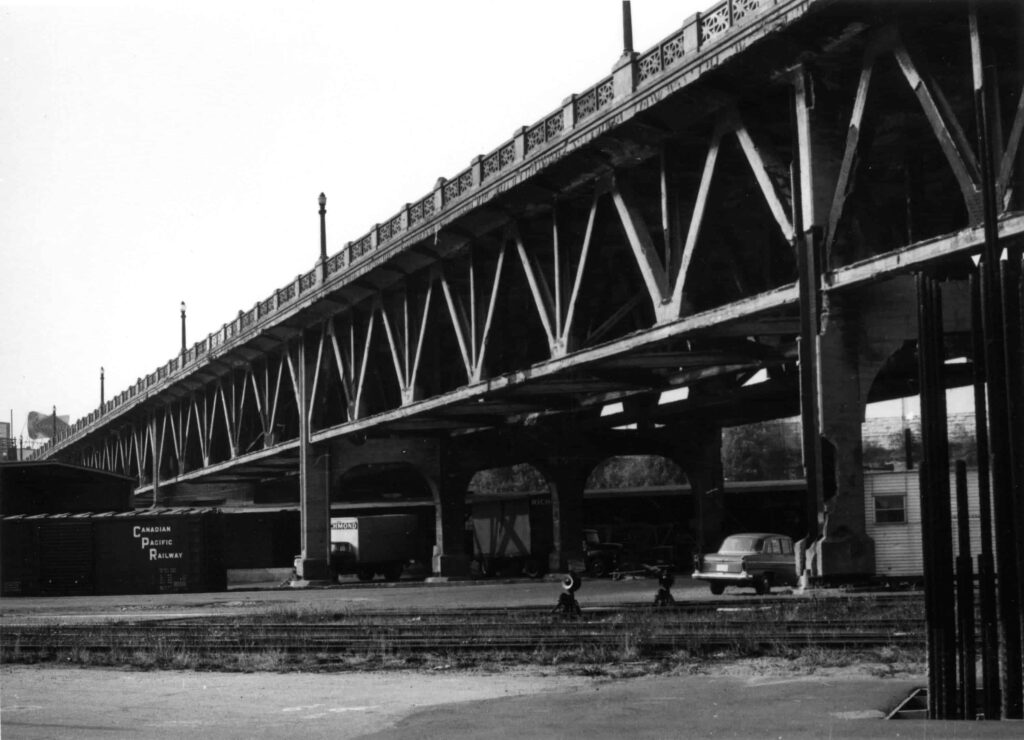
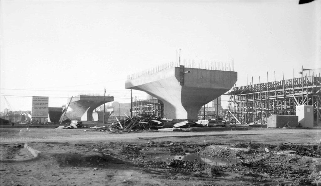
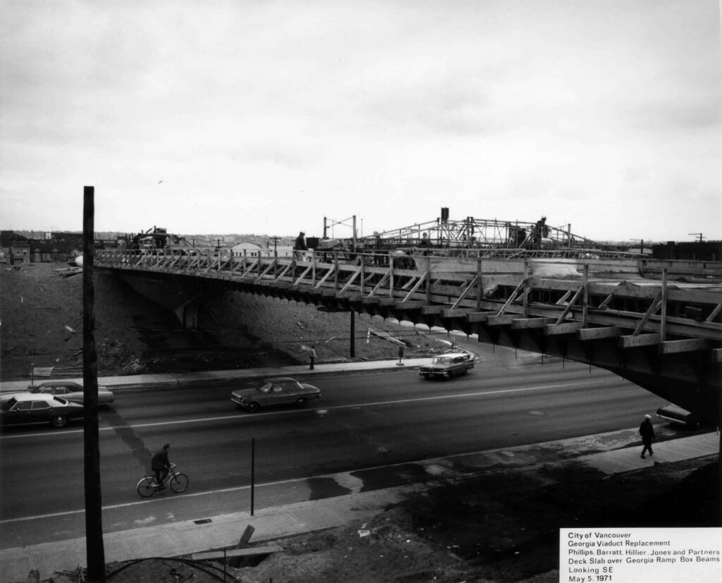
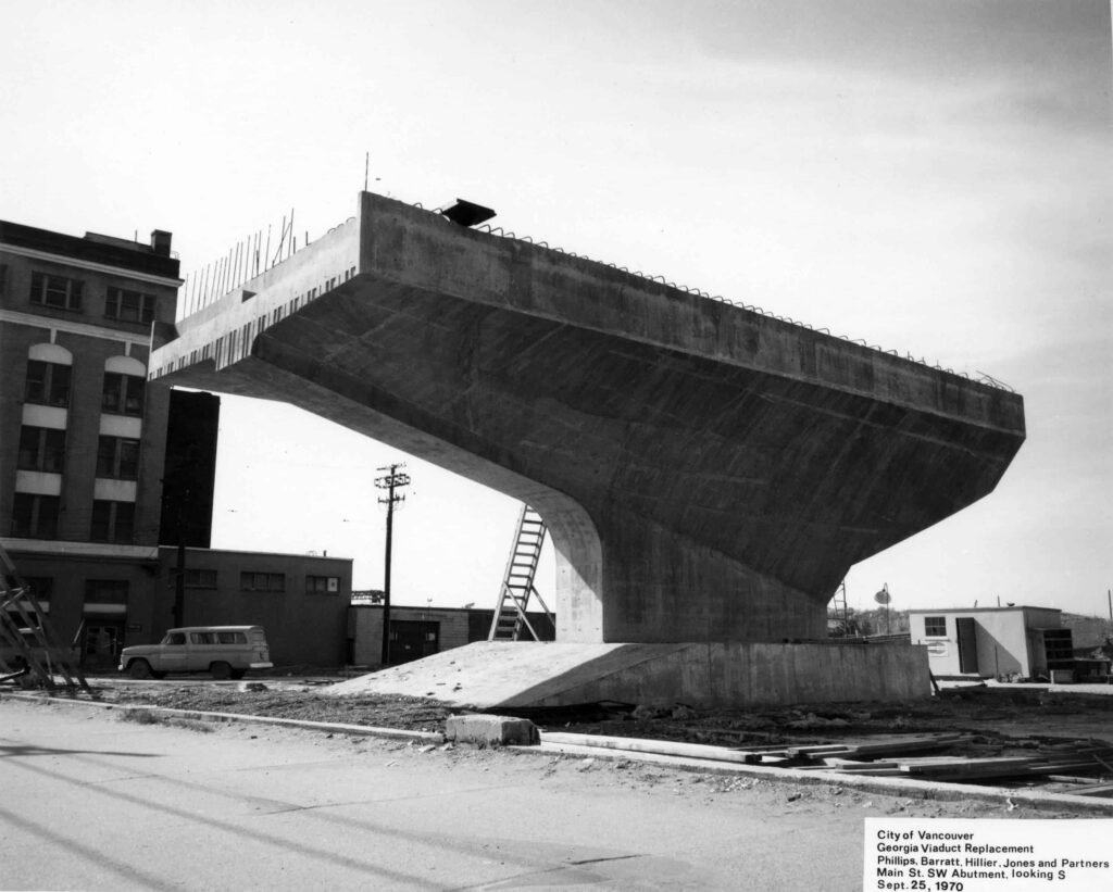
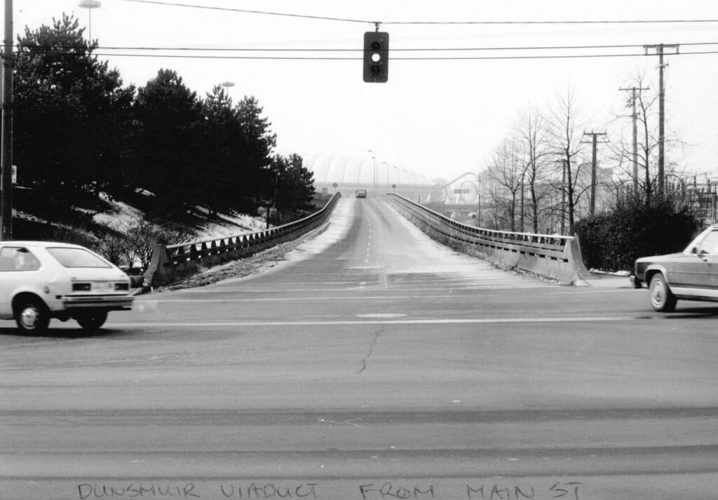
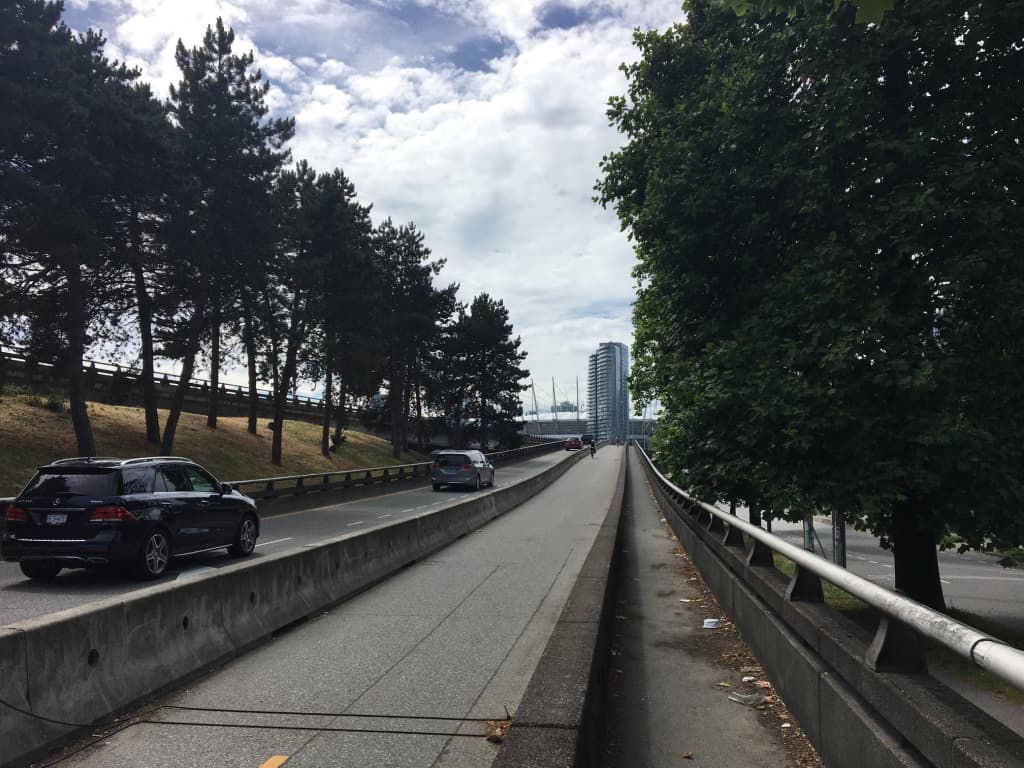
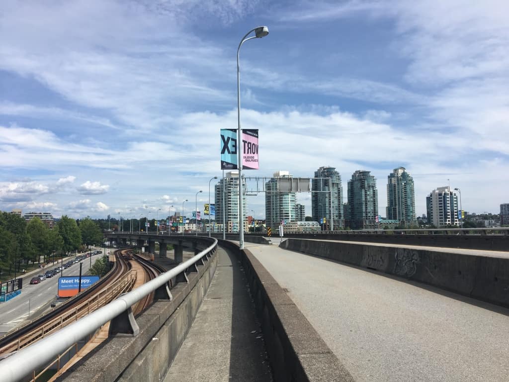
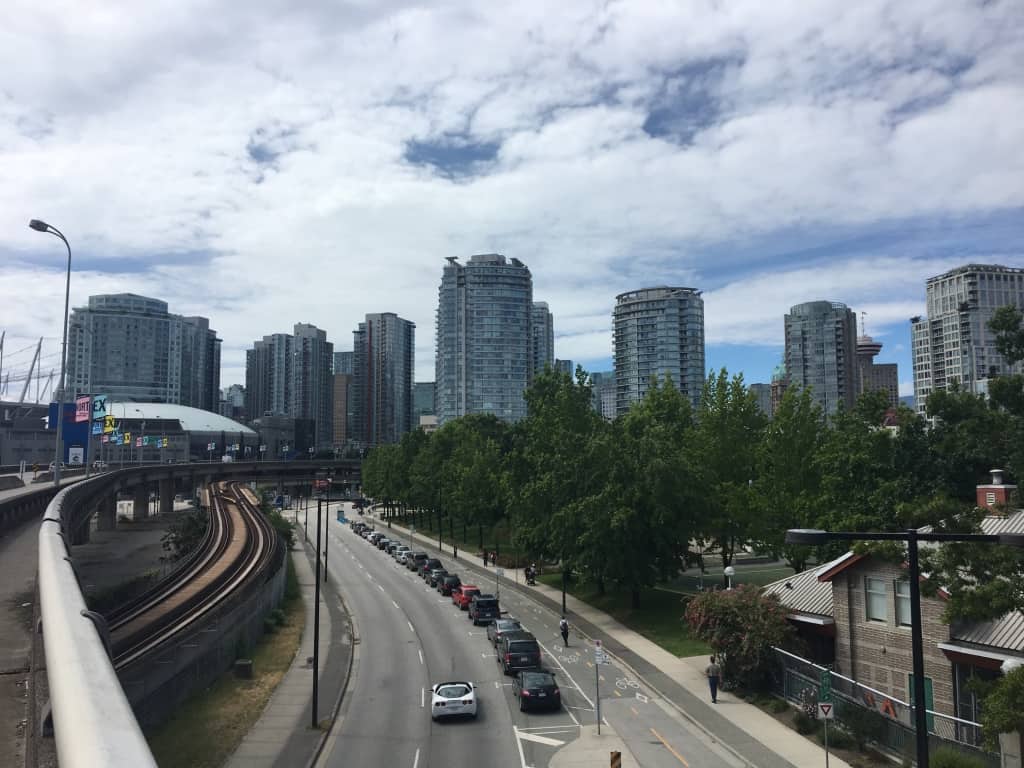
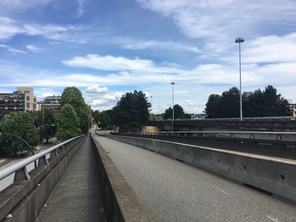
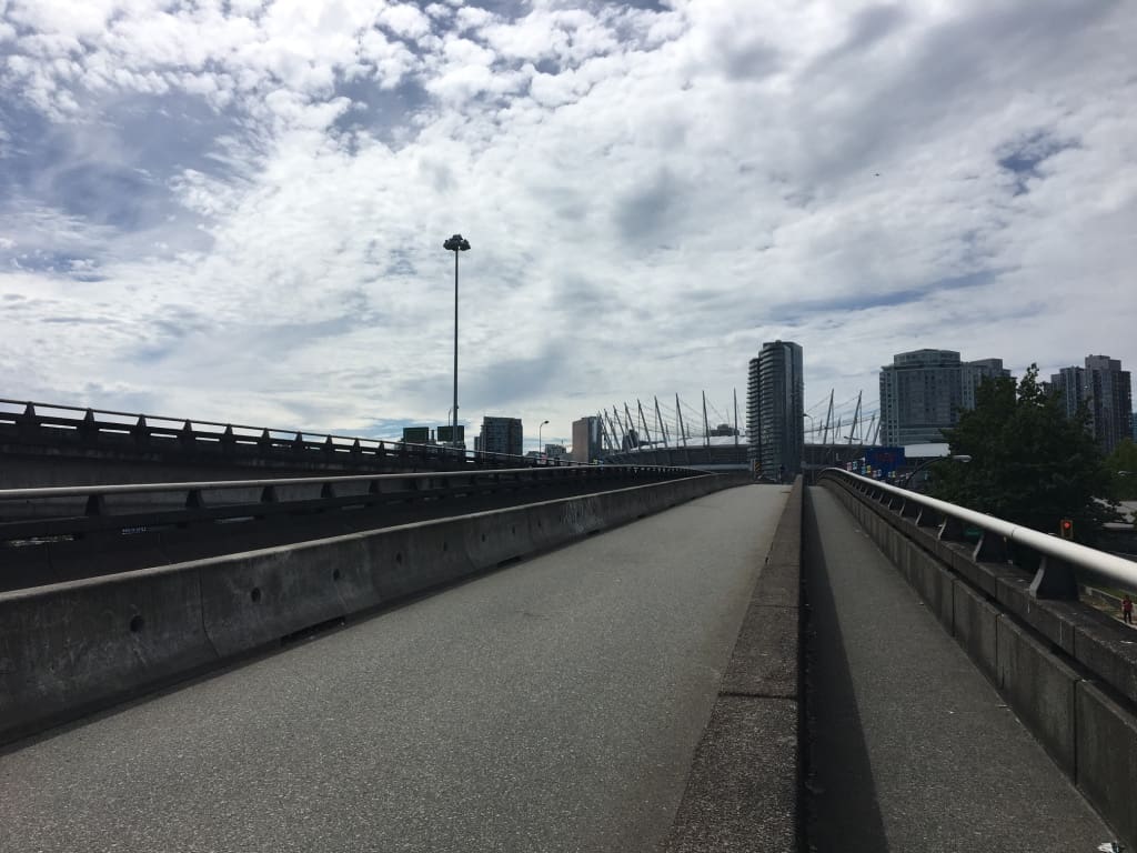
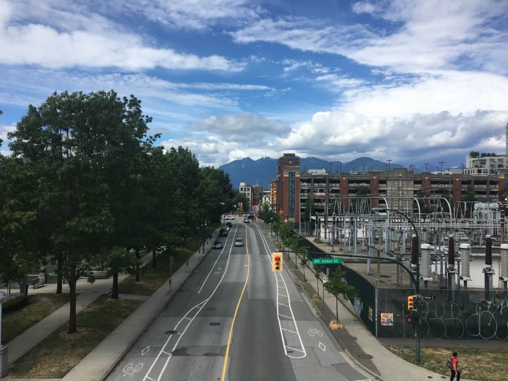
The Georgia and Dunsmuir viaducts, opened in 1972, are the only completed parts of the city's proposed downtown freeway, and replaced the earlier Georgia Viaduct. The cancellation of the freeway project in 1972, following protracted citizen protest, was probably the most significant single civic decision in the second half of the 20th century. In 2015, the City of Vancouver approved the demolition of the viaducts, and plans for a complete redevelopment of the area.
Photo credit: CVA 447-374.
The Original Viaduct
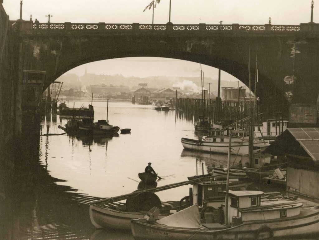
The northeast False Creek area, where the Georgia Viaducts have been built, is traditional land of the Squamish, Tsleil-Waututh and Musqueam peoples. Seasonal villages and a trail network were once on the north shores of False Creek, the area often used for hunting, fishing and gathering, while False Creek itself was a well-used waterway.
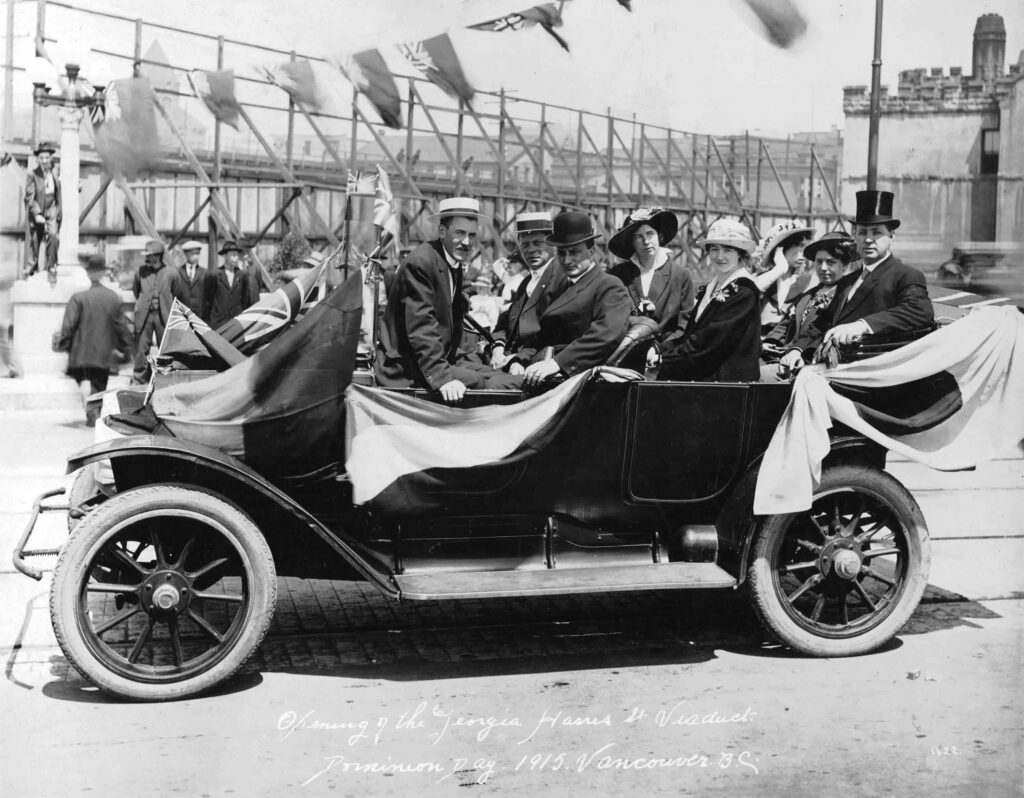
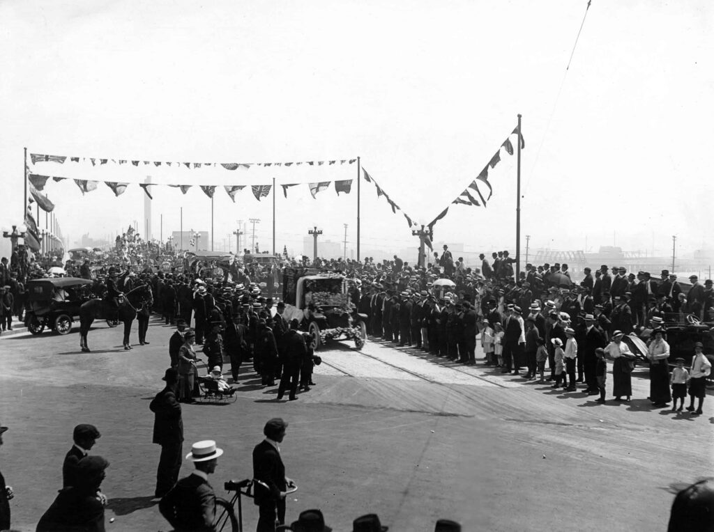
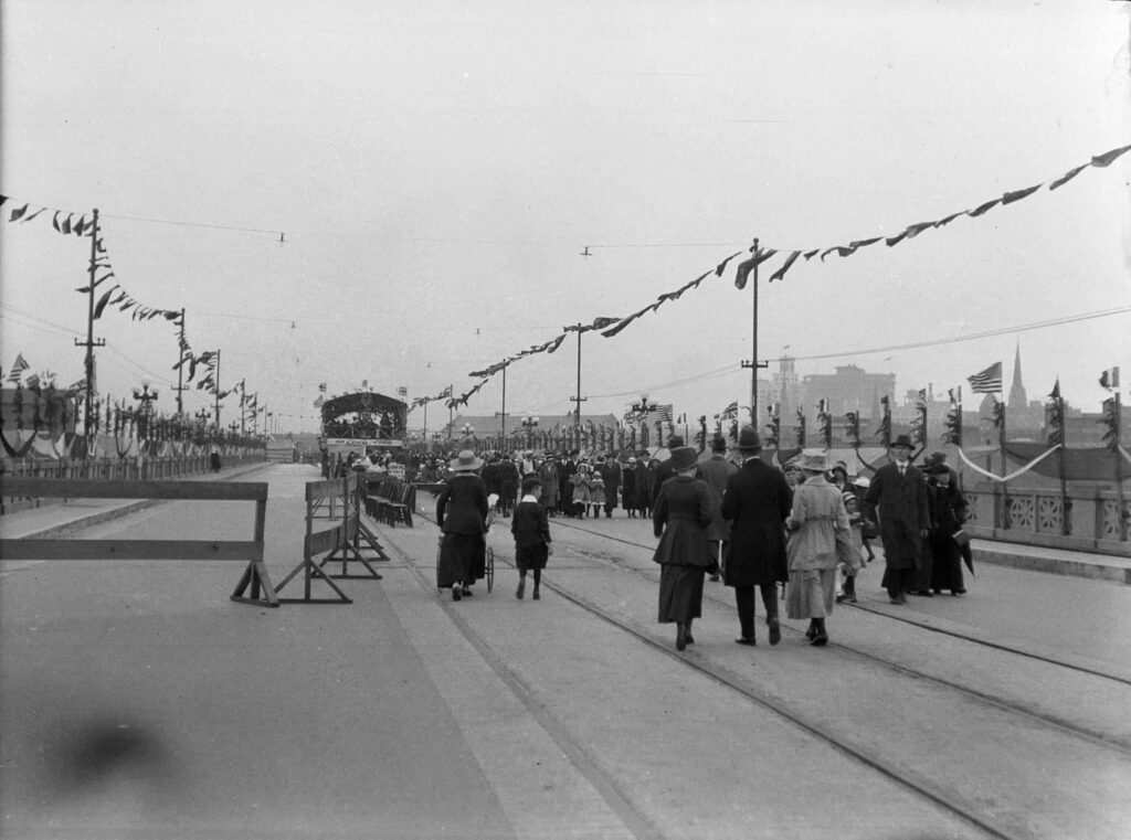
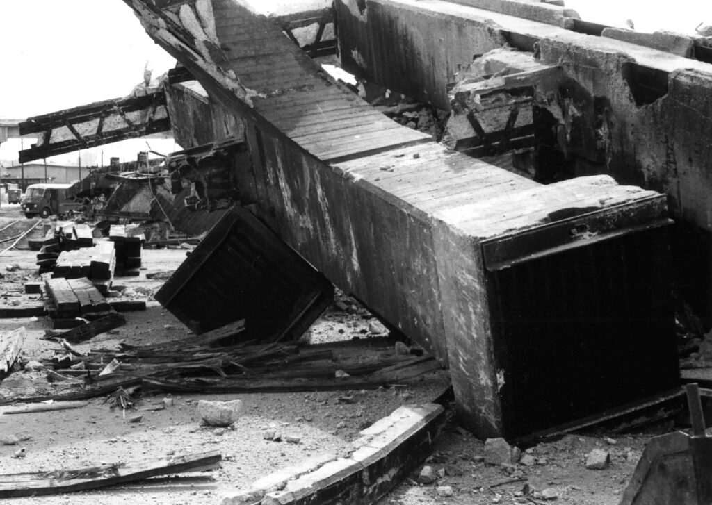
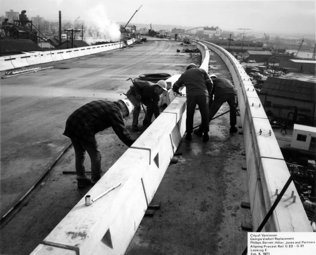
The first viaduct was completed in 1915, extending what was then called Harris St over the CPR Beatty St yards to connect to Georgia St. At that time, Harris St was renamed East Georgia, and the viaduct called the Hart McHarg bridge, but it was more commonly called the Georgia Harris Viaduct. It was poorly built and plagued by difficulties from the beginning; It was not uncommon to see sagging sections, timber propping it up, and concrete falling to the ground below. In anticipation of the viaduct and the planned streetcar providing easy access to the city centre, apartments began popping up in the area in the preceding years, including the heritage building called the Jackson Apartments at 660 Jackson St/501 E Georgia. Although a track was laid for the Georgia Streetcar to offer service across the viaduct, there were immediate concerns about its ability to hold the weight, and the plan was abandoned. The viaduct opened on July 1, 1915 with a large celebration.
Urban Renewal and a Freeway Proposal
The City started to consider the replacement of the “old” and crumbling Georgia Viaduct in the early 1960s, and at first the community was supportive of the plan for neighbourhood improvements, however they did not know the whole story.
Vancouver’s freeway dreams of the 1950s began to coalesce in a scenario by Stanford Research Institute and Wilbur Smith and Associates in 1964. The CPR proposed to donate a corridor through its Burrard Inlet waterfront lands, which it wanted to redevelop, and Vancouver residents voted enough money in 1965 in the capital plan to replace the old Georgia Viaduct, although there was no public consensus on any future freeway.
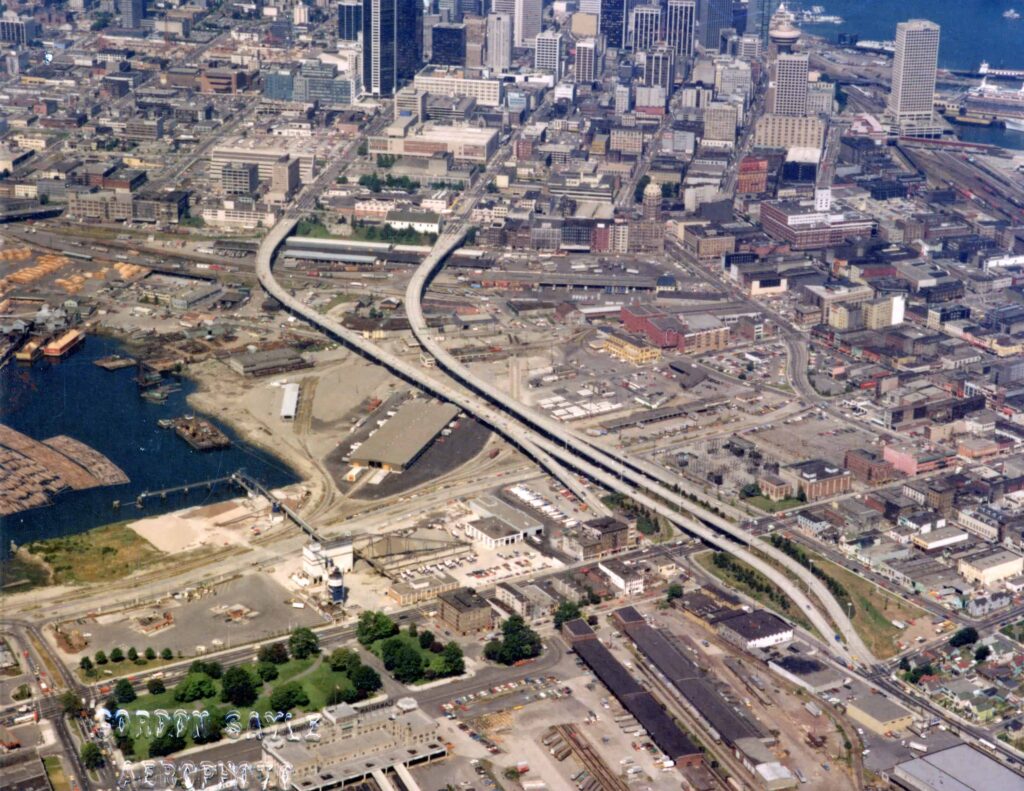
The reality of the new plan emerged in the Vancouver Transportation Study of 1967, which showed an elevated freeway running along the waterfront to a “third crossing” of Burrard Inlet on a line just clipping Brockton Point in Stanley Park. On and off ramps at Jervis, Bute, Hornby and Howe would link to the waterfront freeway, which would swing southeast across Gastown’s Maple Tree Square, cross the heart of Chinatown, then angle east along Prior Street toward East Vancouver and the existing Highway One. Another set of freeways would head south using the Columbia and Quebec Street corridors. The new Georgia Viaduct would allow freeway traffic unfettered access into the eastern edge of downtown at Georgia and Dunsmuir streets.
A Neighbourhood Unites
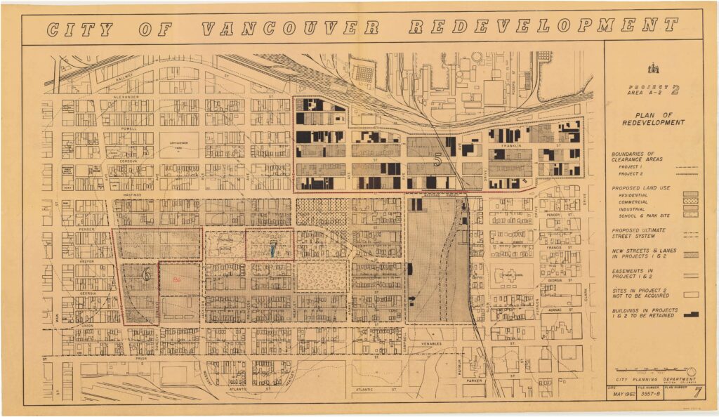
By 1967, 15 blocks, including the western section of Hogan’s Alley, had been leveled for the new viaduct, essentially destroying the centre of Strathcona’s Black neighbourhood and parts of Chinatown. With the final stages of freeway development announced in 1968, opposition quickly mounted. Later that year, over 600 community members united to form the Strathcona Property Owners and Tenants Association (SPOTA), with the hope that “the people who live in the area would be fully informed and their interests and community protected.”
The Chinatown route of the freeway was cancelled in 1968 because of public outcry about the inevitable destruction it would cause to historic Chinatown. However, another route continued to be considered for the next few years using the north shore of False Creek and a proposed tunnel under Thurlow Street to connect the east-west freeway with a bridge across the harbour to the north shore. All proposals died in 1972, when a petition signed by 21,000 Vancouverites pressured the federal government to withdraw its support, and both city and provincial governments changed hands. There is a distant echo of the final scheme in the Pacific/Expo boulevards and Quebec Street arterials along the edge of False Creek.
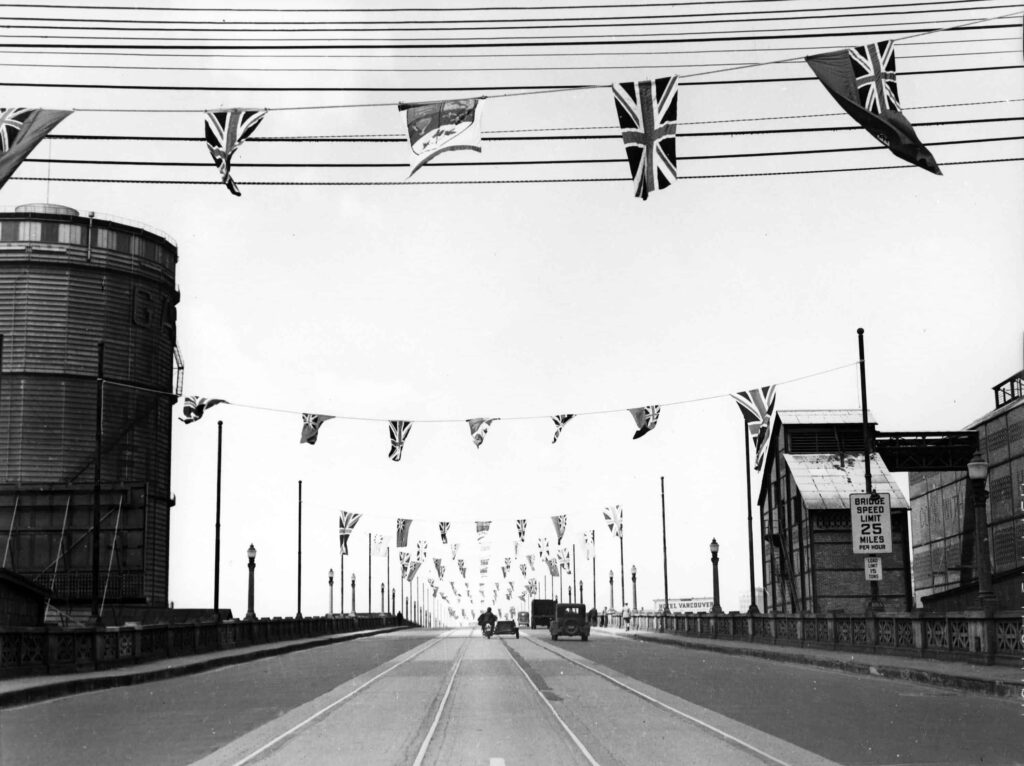
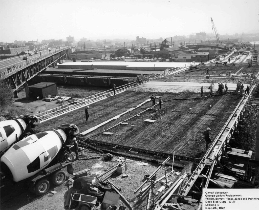
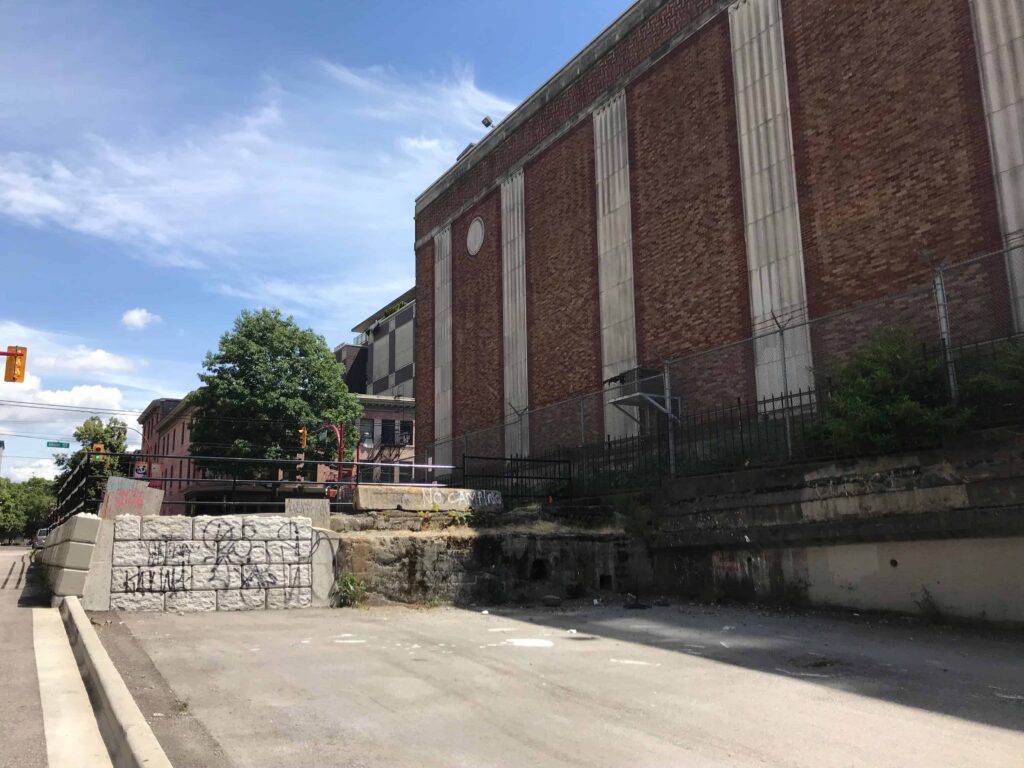
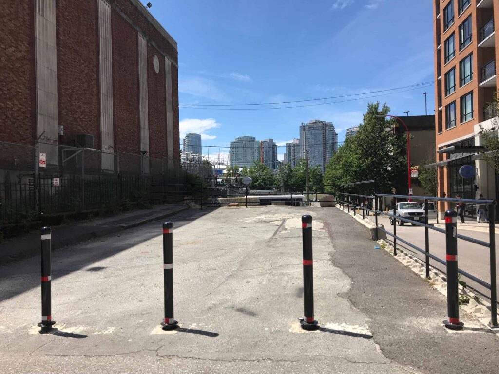
The Georgia and Dunsmuir viaducts, opened in 1972, are the only completed parts of the city’s proposed downtown freeway, and replaced the earlier Georgia Viaduct. The cancellation of the freeway project in 1972, following protracted citizen protest, was probably the most significant single civic decision in the second half of the 20th century. Sections of the freeway would have levelled Strathcona, Chinatown and portions of Gastown, cutting off public access to the waterfront more completely than the CPR railyards of the previous century and ensuring a car-dependent future for the city.
Future Demolition and Development
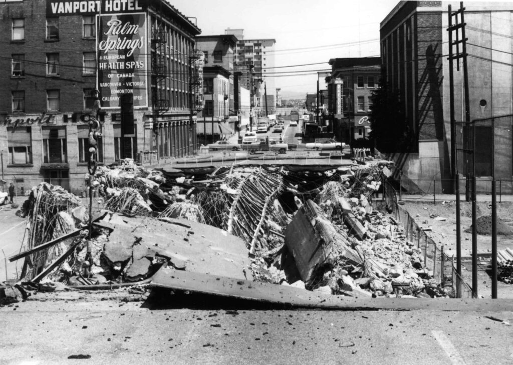
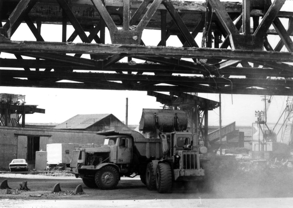
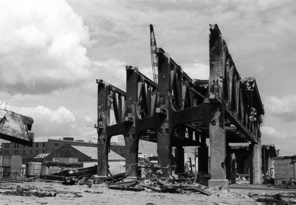
In 2015, City of Vancouver councillors voted to demolish the Georgia St and Dunsmuir St Viaducts and since then the City has been working on a plan for large-scale redevelopment of the Northeast False Creek area. The viaducts are to be replaced by a new ground level road network, interspersed with green spaces. The plan includes residential towers with 20% social housing, approximately 25 acres of new and renewed park and outdoor spaces, a skate park, playground and waterpark, and an elevated walkway. The renewed neighbourhood is expected to eventually house up to 12,000 people, and the City is in dialogue with Historic Chinatown, Hogan’s Alley Working Group, and the Musqueam, Squamish and Tsleil-Wauthuth Nations about the project. Still in the design phase, construction is not expected to start until at least 2020.
For more information on the project see the Northeast False Creek Plan and the Viaducts Replacement Project.
Nearby Places That Matter
Sources
747 W. Georgia
North False Creek
49.277194, -123.104101
 There is no physical plaque onsite- please contact us if you are interested in sponsoring this plaque!
Do you have a story to share? Do you have a site to nominate? Please fill out this form and we will get back to you.